Lake Superior is the largest of North America’s five Great Lakes and the world’s largest freshwater lake by surface area. Ideally, the perfect Lake Superior road trip would be a circle tour – along the eastern shore and across the north in Ontario, then crossing into Michigan to complete the circle through the United States. But the covid-19 pandemic had other plans, so our 2020 tour route included the Canadian roadways only.
There seemed to be no better way to start a road tour of Ontario’s distant reaches than with a stop at a museum dedicated to the planes that played such a large part in opening up the North’s large swath of forest and remote bush. And no better person to start us on our way than an enthusiastic young man with a passion for old planes.
Sault Ste. Marie: a city steeped in Canadian history
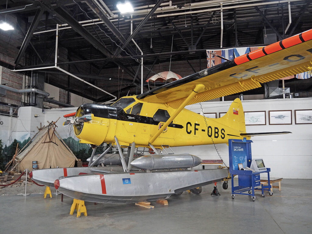
“Bush pilots became almost mythical,” said Mitch, who grew up around planes. “A bushplane is an aircraft that’s flying into unprepared terrain; very remote areas with few navigational aids. So much depends on the pilot’s judgement and they really have to know their aircraft as well as the land.”
The Canadian Bushplane Heritage Centre (Sault Ste. Marie’s most popular attraction) is a nostalgic and engaging journey, with 29 meticulously restored small planes on display in the original 1924 and 1948 working hangars.
The museum’s oldest plane is an 85-year-old Norseman with its steel frame covered in fabric and its wings made of wood. “This was the King of the Hill for quite a while and it’s still a sentimental favourite among bush pilots.”
Visitors enter the hangar and immediately see the first working, high-wing Beaver to come off the production line. “This is the oldest flyable Beaver in the world,” said Mitch. You can’t kill ’em – you just rebuild them. When the Beaver came along it did everything the Norseman could but it had a simpler design, so operators could fix it without having to ship it back to the factory.”
Just a stone’s throw away is the Curtiss H-Boat, the first bushplane used by the provincial government for surveying, forestry and air patrol.
“They were called the Curtiss Flying Boats,” he explained, “because they flew into the bush, hopping from lake to lake. In the 1920s the government used them to expand the sightlines of fire towers. You could recognize the Ontario planes because they were painted yellow and nicknamed The Yellow Birds.”
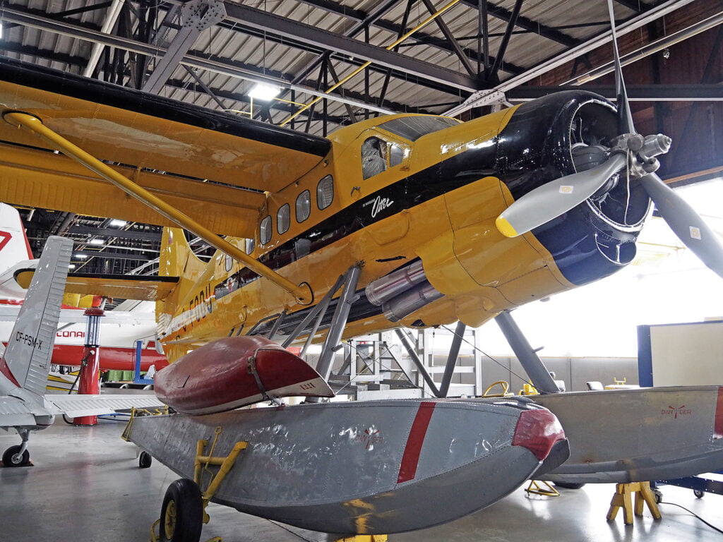
Fast-forward to the 21st century and these workhorses of the north – the single engine Beaver, the Otter, the sturdy Norseman among others – are sentimental favourites still used for fly-in fishing and commercial tourism.
At the other end of town is another point of the Soo’s historic pride, the Sault Ste. Marie Canal National Historic Site, a popular spot to watch boats pass in what was at one time the largest lock in the world, do a little urban hiking or rent a fat bike and explore the trails that spider out from the stone lock site.
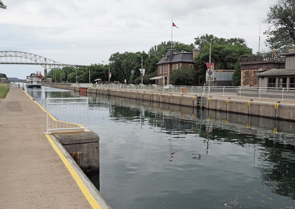
In 1895, the heritage canal opened up an all-Canadian waterway from Lake Superior to the Atlantic Ocean, with a series of eight canals providing uninterrupted passage for vessels from Thunder Bay to Montreal. The enormous gates hold and release torrents of water using electrical turbines.
We hopped on fat-wheeled bikes and toured the stony pathways and small bridges linking the three compact islands. It was a great way to do a little birdwatching and stretch our legs after the confinement of the van.
Travelling north, with the big lake always in sight
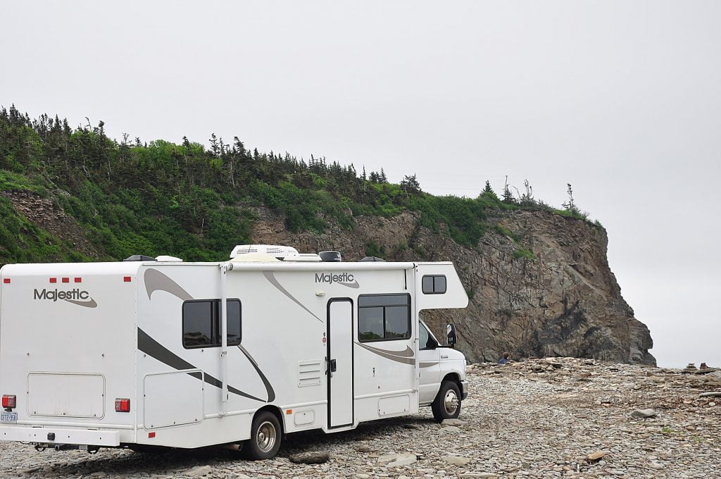
Before leaving home we made sure to pack our Ontario Parks Day Pass, probably the most useful piece of equipment in our camper van. It allowed us unlimited day-use entry into Ontario Parks and we hopped from one to another to hike, swim, picnic and nap. Our travels included a lot of boondocking and stays at Harvest Hosts sites – all without shower facilities – but a stop at an Ontario park gave us the chance to swim and get a daily rinse off. In addition, the day-use pass allows access to the parks’ dump stations and fresh water fill ups.
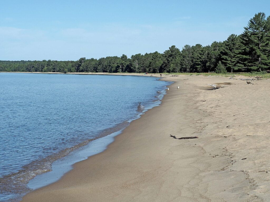
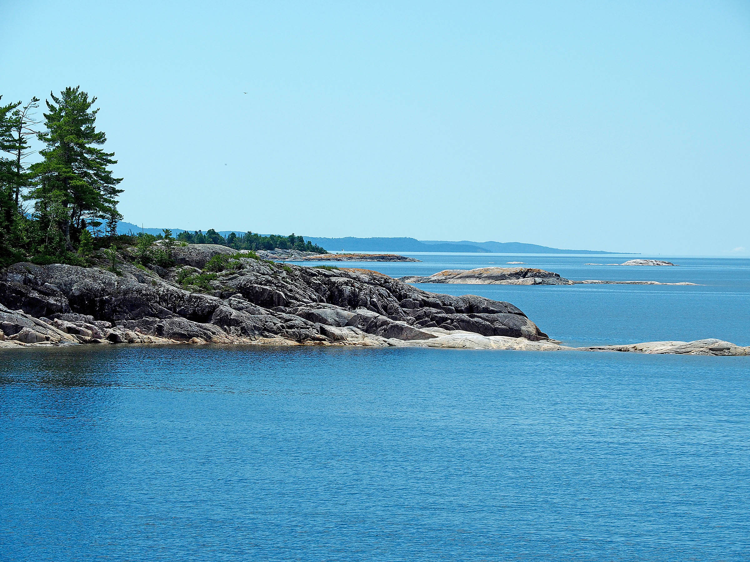
We’d heard a lot about the beauty of the dunes and crescent beach at Pancake Bay Provincial Park, about an hour north of Sault Ste. Marie on Highway 17 (the Trans-Canada Highway). We stopped to cook a picnic breakfast beneath a canopy of pine trees and take what is kindly described as a ‘bracing’ morning swim in Lake Superior. The lake water is famously clear and clean . . . and definitely cold. But whether you’re dipping in or not, Pancake Bay is worth the stop for a walk along the long, sandy beach. Stopping for gas before continuing is a must as there are no gas station facilities between Pancake Bay and the community of Wawa, 150 kilometres to the north.
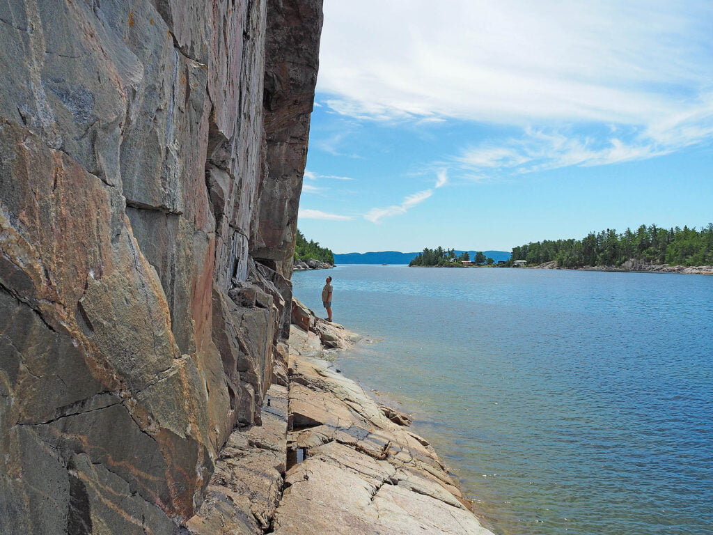
With the majestic lake on our left, there were lots of opportunities to pull off and ogle the coastal scenery. It was the kind of setting that just called out for a hike. The highway passes through Lake Superior Provincial Park and at the park’s south end we stopped at Agawa Rock Pictographs to hike to and see the sacred rock art. The hiking path was quite uneven – sturdy shoes would be needed – but every step was worth the end point where a sweeping rock face of tilted stone plunged into the chilly waters. The smooth rock is the canvas for ancient drawings that tell the stories of the Ojibwe people.
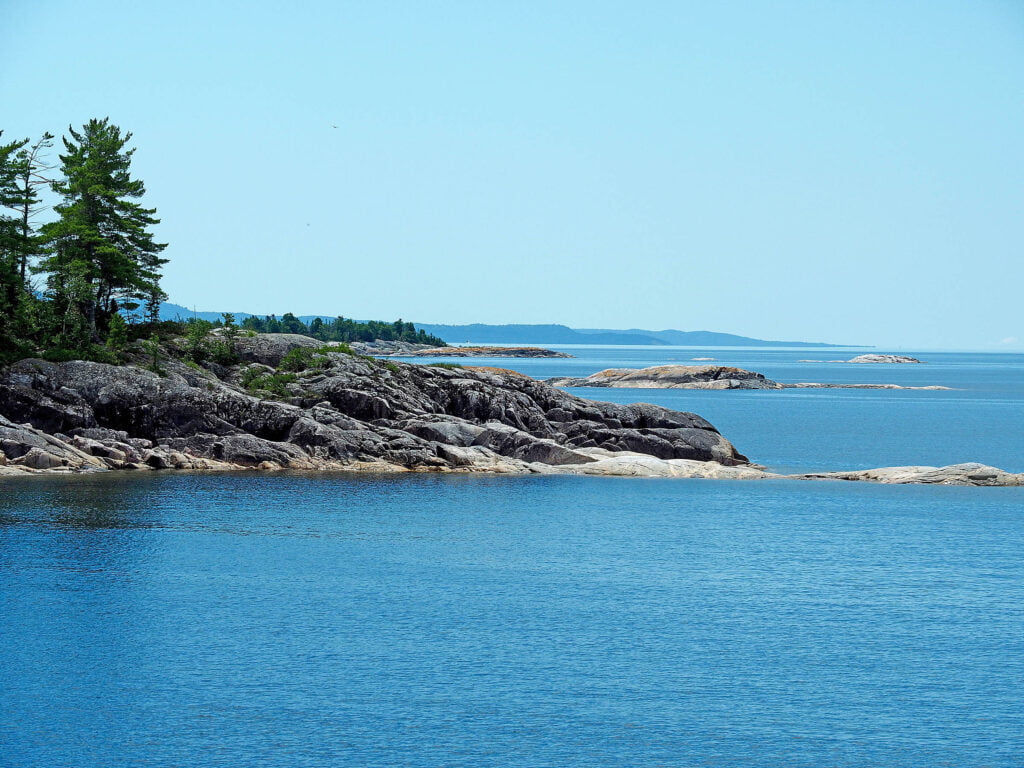
The rugged wilderness of Lake Superior Provincial Park also inspired a more contemporary set of artists, Canada’s famous Group of Seven who notably painted scenes of the Algoma forests and shorelines. There is a Group of Seven Touring Route linking interpretive installations, many of which are at actual painting sites used by the artists.
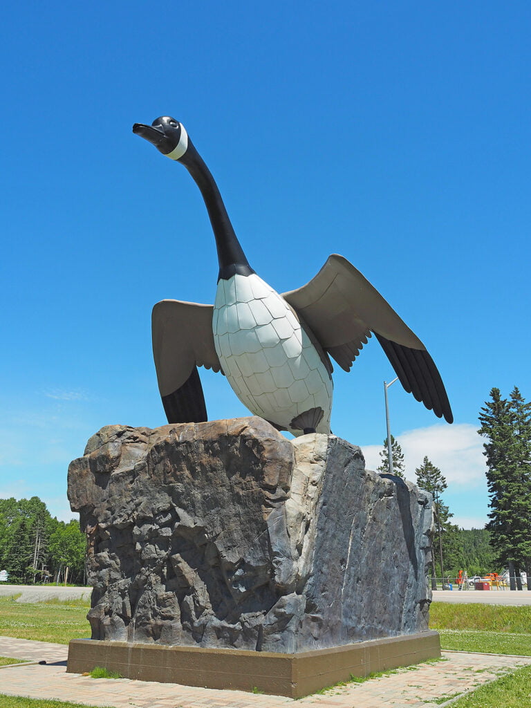
This is not a route for hurrying. We’d earmarked most of the day to travel from Pancake Bay to Pukaskwa National Park at Marathon (340 km), with lots of stops for short hikes and delays by frequent road construction. Like thousands of others, we detoured to snap photos of the famous Wawa Goose, the large monument at the entry to the small town of Wawa.
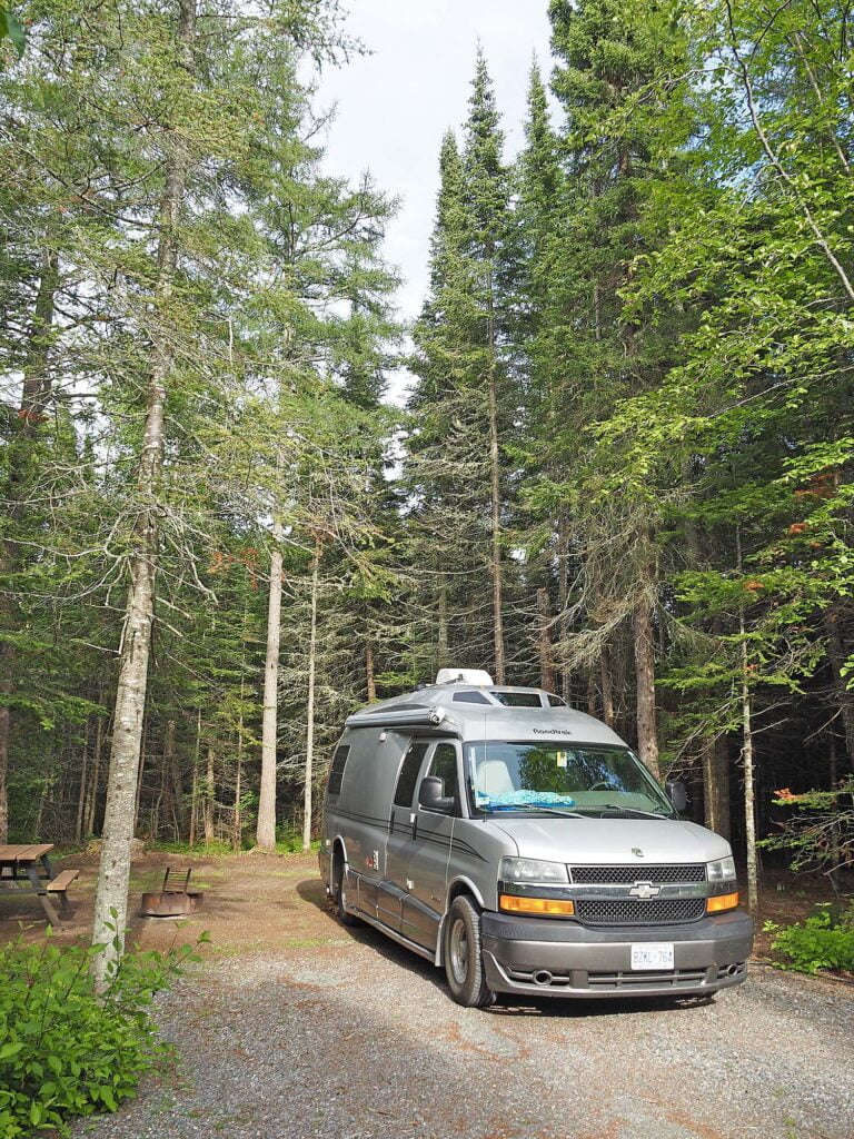
At the end of that long day’s drive was one of the highlights of our entire trip: Pukaskwa National Park, a pristine Parks Canada site at the northeast tip of the great lake. The sites were well spaced, some with electrical hook-ups, and can easily accommodate small and mid-size rigs. The nightly rates are low and sites are on a first-come/first-served basis, but the park staff said they rarely fill up.
Pukaskwa is an environmentalist’s dream. The land feels respected and undisturbed; there is a mesmerizing interplay and interdependence between the rock, the water, the boreal forest, the arctic-alpine vegetation and the fauna. The park is also known for its Anishinaabe Interpretive Program, which includes a traditional camp, medicine wheels and drum circles.
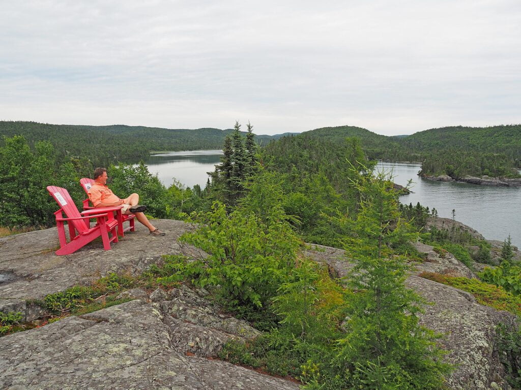
The pull of the park was strong – so we shifted our travel plans and stayed several extra days. We meandered along the Southern Headlands Trail and lounged in the Parks Canada red chairs, watching as the fog slipped in and disappeared from Hattie Cove. We picked our way through a light mist along the massive piles of driftwood lining the Beach Trail. And we slowed down and took our time along Bimose Kinoomagewnan, the longer circular trail dedicated to the Seven Grandfather Teachings.
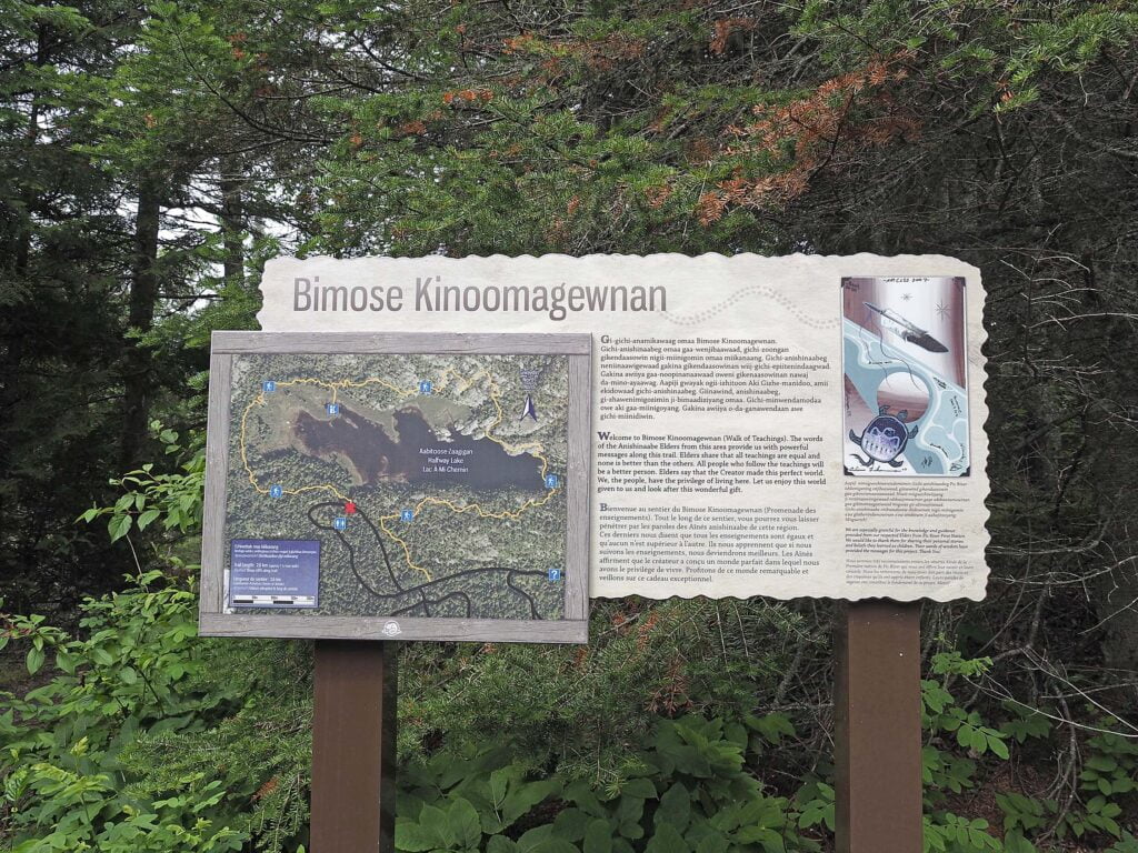
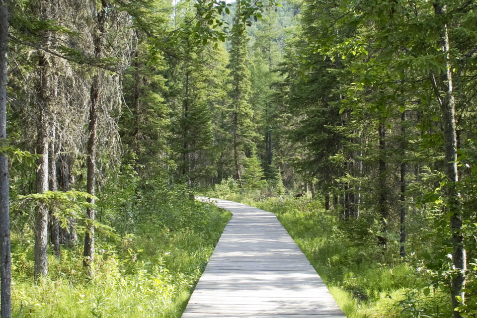
Bimose Kinoomagewnan is a moderate trail with ups and downs along granite outcrops surrounding a small lake, so sturdy shoes, water for drinking and a snack are needed. Along the way, wooden signs explain the seven teachings of the Anishinaabe elders: love, honesty, respect, wisdom, truth, humility and bravery. Of the many wonderful hikes along the North of Superior route, this was our favourite.
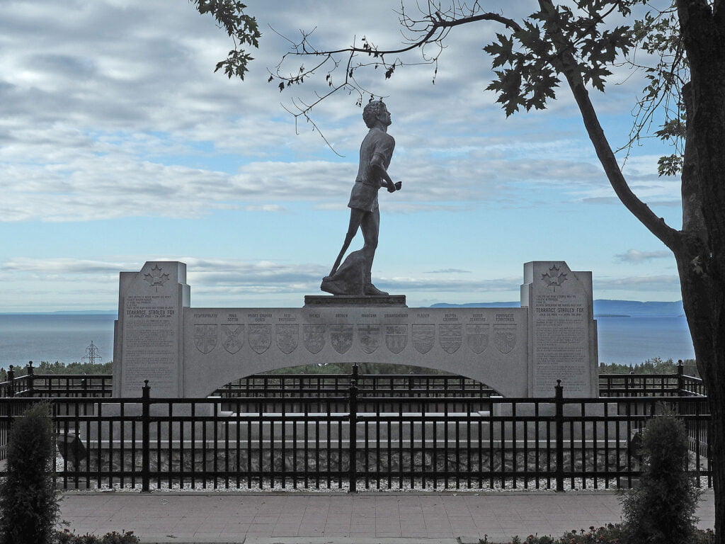
Tearing ourselves away from the beauty of Pukaskwa was a challenge but on our drive west we stopped for swims and relaxation at many beautiful provincial parks, including Neys, White Lake and Rainbow Falls. At Nipigon, Highway 17 merges with Highway 11 and becomes the Terry Fox Courage Highway. Just east of Thunder Bay, the poignant Terry Fox Memorial and Lookout celebrates the life of Terry Fox and marks the spot where the young athlete and victim of cancer was forced to end his Marathon of Hope in 1980.
Thunder Bay has always been a transportation hub; a spot midway between Montreal and northern Alberta where the fur traders congregated to enact business. The Fort William Historical Park – a Canadian Signature Experience – brings to life this heritage at the largest living history site in North America. Interpreters wear the role of fur traders, voyageurs and Indigenous people, passing along the history and stories of the region. People come to Thunder Bay for the access to water (in addition to Lake Superior there are 150,000 smaller lakes in the region), outdoors adventure and a connection to nature. Even in the heart of downtown, the people-friendly waterfront encourages the community to gather. There are public barbecues, a large firepit that can be booked by groups, clusters of Muskoka chairs for lounging and a splash pad for kids.
It’s possible to do a little city exploring while enjoying nature and camping at two excellent provincial parks close to Thunder Bay.
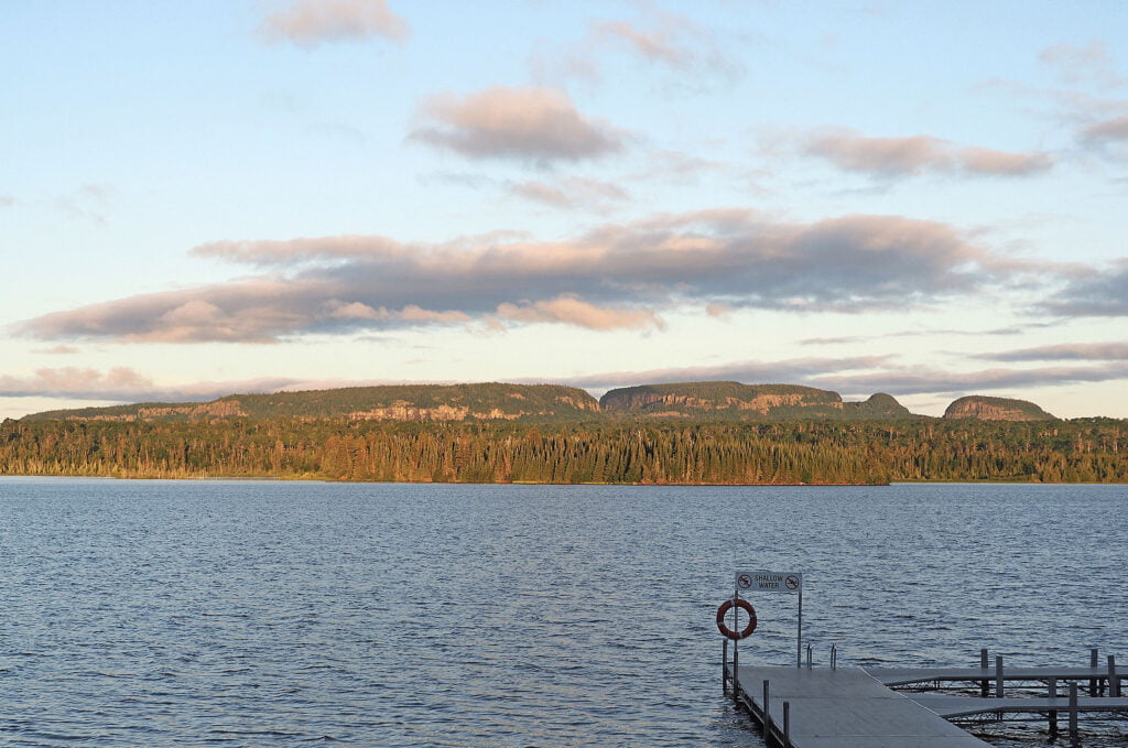
Sleeping Giant Provincial Park is famous for its series of flat mesas reminiscent of a giant lying at rest. The campground loops were busy when we arrived on a weekend but cleared out when the workweek returned. There was excellent swimming in the park’s Marie Louise Lake (a warm alternative to the chilly waters of Lake Superior). The park boasts the tallest cliffs in Ontario and more than 100 kilometres of hiking trails.
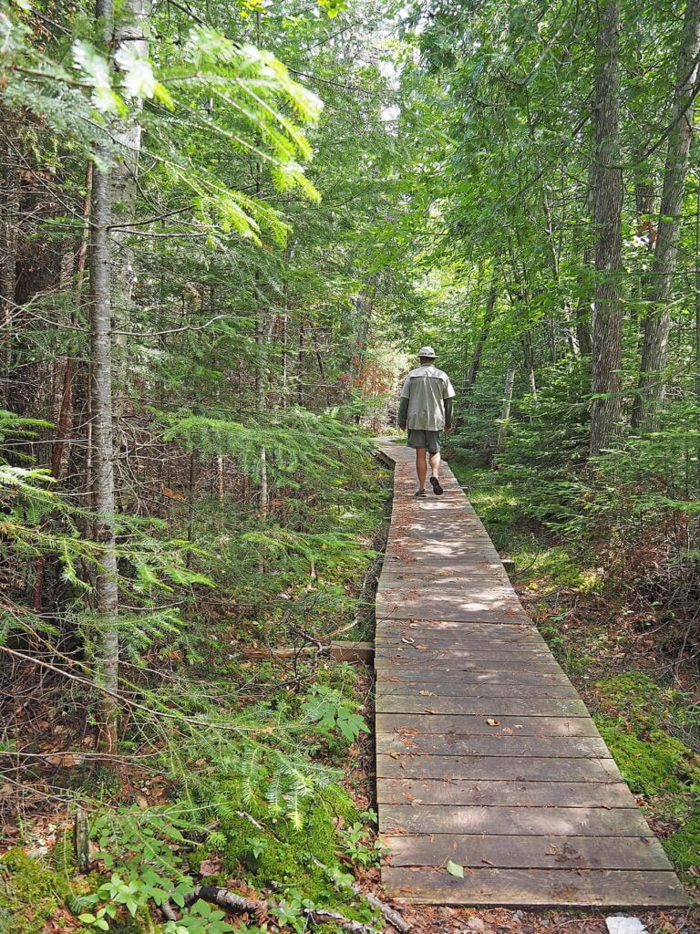
We set out on the 2.3-km Sibley Creek Nature Trail, a self-guided hike with multiple interpretive signs explaining the park’s various boreal forest ecosystems – the coldwater stream, meadows and swampland. In places, sphagnum moss blanketed the ground – in the World Wars this moss was used as a dressing for wounds. White cedar lined the pathways and the leaves boiled into a tea were used to prevent scurvy. And stands of white birch are traditionally honoured by the Anishinaabe as a sacred “tree of life.”
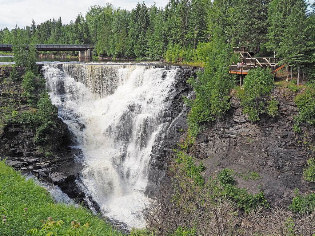
A short drive west of Thunder Bay, we stopped to admire the thundering waterfalls and camp for two nights at Kakabeka Falls Provincial Park. The roar of the falling water comes from the Kaministiquia River on its way to Lake Superior. The sites at the park are generously spaced and quiet – suitable for both large and small RVs. While not a wilderness park, it hasn’t been overly ‘manicured’ either and was the perfect spot for our turnaround point on our journey across North of Superior.
And that’s always the hard part, isn’t it? Getting to the end of your route and facing the notion that your road trip is over. Luckily, we just turned around and did the whole trip in reverse . . . and it was just as great the second time around!
Travel tips for North of Superior:
- Plan driving times for daylight hours. There are moose and deer at nighttime.
- Be prepared for the infamous Lake Superior fog – it appears and disappears quickly.
- There are long stretches along the route with no cell service.
- There are also long stretches with few gas or grocery services, so plan accordingly.
- Some parks – like Kakabeka Falls and Pancake Bay – are well suited for bicycles, a great diversion if you have kids in tow.
- Stops like Neys Provincial Park offer a free loaner program of fishing rods and tackle.
- The electrical sites at some parks – like Kakabeka Falls and Sleeping Giant – require very long extension cords (50-feet or more). Rental cords are available for a modest fee.
- Mosquitoes vary from one park to the next. Best to have bug spray packed.
More Information:

