This is the sixth year that my son Dale and I have spent one week on the road for Canadian RVing, and the first time we are headed out west. I won’t begrudge the reader who might expect that we will be writing about the Alberta Rockies or the forests of British Columbia. No, instead we are going to Saskatchewan. “Saskatchewan” you might say. “Isn’t it just flat and b-o-r-i-n-g?” Well, last year we dispelled the myth that Quebec was not a good place for English speaking RVers to visit, and this year we are going to show that Saskatchewan is not flat, and anything but boring. Join us as we visit two completely different national parks, two national historic sights that shaped the future of Canada, and learn about the only Prime Minister to hail from Saskatchewan. But, first we will spend two days in one of the most unique ecological areas in Canada – the Cypress Hills.
Our trip starts in Calgary where we pick up a Class C motorhome from Cruise Canada, which Tourism Saskatchewan has been kind enough to assist us with. Ordinarily, the pick ups start after noon, but the folks at Cruise Canada know we are anxious to get on the road, and they have our unit ready for 9:00 am. Shortly thereafter, we are on the Trans-Canada Highway headed east for the three-hour drive to Saskatchewan. Our first stop is at the border where I get some maps, and Dale climbs onto the Welcome to Saskatchewan sign.
I spent my formative years in Manitoba, and travelled extensively throughout the Prairie Provinces, but the one place I never visited was the Cypress Hills area of SW Saskatchewan. The Cypress Hills are unique in Canada in that it is the only Interprovincial Park in the country, with parts of it in SE Alberta, and the rest in SW Saskatchewan. On the way to the border we passed the road to the Alberta side, but our mission is to explore the two distinct areas that lie in Saskatchewan.
The Cypress Hills are also unique in the manner in which they were created. While most mountains are formed by the earth’s tectonic plates crashing together and thrusting up huge chunks of material to create something like the Rockies, or in weathered down form, the Appalachians, the Cypress Hills are the opposite. Millions of years ago this area was at the bottom of a vast ocean, and huge layers of silt and rock solidified into a conglomerate after the waters dried up. The land around the Cypress Hills was softer and eroded away, leaving two huge plateaus that stand out hundreds of metres higher than the surrounding prairie. So essentially, it’s not the Cypress Hills that grew so high, but rather the land around it that shrank. One other interesting fact – there are no cypress trees in the Cypress Hills. You’ll find those in Florida or Georgia. The name is a corruption of the Métis word for jack pine – cypres, and you will find lots of those in the park.
We leave the Trans-Canada at the junction for Maple Creek, and head south to the East Block of Cypress Hills. This is the smaller of the two units of the park in Saskatchewan, but the one with almost all of the facilities. The motto on the Saskatchewan licence plate is “Land of Living Skies” and that soon becomes apparent as the skies change constantly, as the clouds seem to move at a faster pace than any place I’ve ever seen.
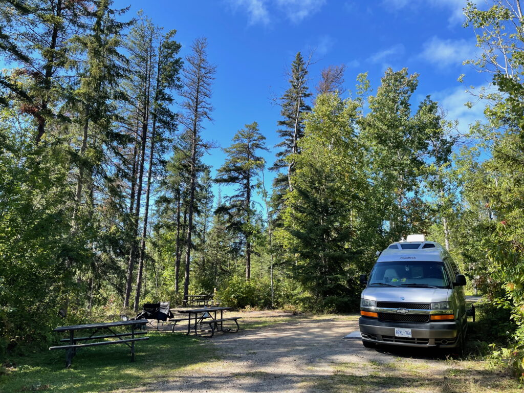
This is ranch country, and anything but flat. There are very few homes and no towns between Maple Creek and the entrance to Cypress Hills Park, where we are assigned a spot in the War Lodge campground. There are no less than six different campgrounds in Cypress Hills. On the Saskatchewan Parks website, saskparks. goingtocamp.com, you can actually get a picture of what each campsite looks like before you book it. Ours is in the middle of a forest of huge lodgepole pines that grow straight as an arrow, up to sixty feet tall. There’s free firewood, something that we found at every site in Saskatchewan, and a nice fire pit. There is electricity, but no water or sewer hook-up. That’s fine with us, as I have found that if you want these extra amenities you usually have to settle for camping in a flat field. I’ll take this wonderful pine forest any day.
The East Block of Cypress Hills is perfect for a family vacation as it has just about every activity one could think of doing on an RV trip – hiking, horseback riding, swimming, boating, fishing, golf, zip lining, biking (kids are riding them everywhere in War Lodge), and for night sky watchers, an observatory. We settle for a drive to two scenic lookouts, Lookout Point and Bald Butte. Believe or not, Bald Butte is the highest point between the Rockies and the Torngat Mountains in Labrador. So much for Saskatchewan being flat or boring. This is magnificent country, and it seems to be a well-kept secret as virtually all the licence plates are from Saskatchewan, with a few from Alberta.
There is a circular route in the park that includes the two lookouts, but the best advice is to retrace your steps after Bald Butte as the pavement ends here, and the road becomes very rough. We end our first day around the campfire, keeping our eyes open for any one of the eight species of bats that call Cypress Hills home.
On day two we are headed for the Centre Block of Cypress Hills, which is far larger than the East Block, and with virtually no services. Our first stop is at the Daily Grind in Maple Creek, where they are just readying breakfast pizzas. While they bake, we take a walk around the Heritage District of this pleasant town, which is your quintessential ranchlands settlement. There are real cowboys in the pickup trucks.
The road to the Centre Block is a dead end, and has almost no traffic. There are cattle that roam freely once we cross a Texas gate, including some right on the side of the road, and frequent sightings of both mule and white-tailed deer.
Arriving at the base of the Cypress Hills, we enter a series of switchbacks and hairpin turns (remember this really is Saskatchewan), and come out onto a high flat grassland plateau. Our specific destination is Fort Walsh National Historic Site, which is where the road ends. The road is okay for RVs, but not great. There is a large RV in the parking lot when we get there.
Fort Walsh is one of the most important historic sites in Canada. It is where the North-West Mounted Police, who became the RCMP, was created. The formation of the Mounties was in response to the massacre of over twenty Lakota Sioux by American wolf hunters who frequented the area in the 1870’s. While today there is unquestionably an uneasy relationship between the RCMP and aboriginal groups, it is noteworthy that the force’s original mission was to protect the native inhabitants, and track down the perpetrators of the massacre.
Today, Fort Walsh stands almost exactly as it did over one hundred and forty years ago. Guides are dressed in period costume, and we were treated to a very informative guided tour of all of the buildings by Ariel, escorted along the way by an orphaned calf named Nappy.
While the NWMP were able to identify some of the Cypress Hills murderers, they were unable to get the state of Montana to extradite them for trial. They were more successful in helping to protect and negotiate the return of Sitting Bull and his Sioux warriors to Montana after the Battle of Little Bighorn. The famed leader and some 5,000 Lakota Sioux sought refuge in Saskatchewan after that battle, which is also known as Custer’s Last Stand.
After touring the fort, we decided to hike out to the actual site of the Cypress Hills massacre. We started with a wrong turn, and ended up climbing a steep hill, only to find the famed red chairs that Parks Canada puts in every national park and historic site. Winded, we enjoyed the view of Fort Walsh far below.
Back on track, we had a wonderful two-hour hike through unbroken prairie and rolling hills with nary another soul in site. Experiencing the prairies as they would have looked to the first European settlers is something that every Canadian should do at least once. The grasses and flowers are quite distinct from those found on cultivated land. You will probably also see more birds of prey than you ever thought possible, as these lands teem with mice, voles and other rodents.
Before leaving the Centre Block, we made one more stop at Conglomerate Cliffs, which has an amazing view of the ranchland and prairie far below. The road to get there is rugged, but the payoff is worth it.
By the time we got back to the East Block it was raining, so we decided to eat at Ivan’s, the restaurant at the Resort at Cypress Hills. Apparently, all the other campers had the same idea, as the place was packed, but we got a table and enjoyed a fine meal of ribs and chicken washed down with Saskatchewan craft Black Bridge Brewery’s Pseudo Lager.
The next morning it was clear and we packed up, heading for the small town of Eastend. Our first stop was at the T.rex Discovery Centre where the world’s largest Tyrannosaurus Rex is on display. We were given a guided tour by Fen, and were amazed to find that fossils from a period lasting 75 million years have been found in the hills around Eastend, including Scotty, the T.rex.
Our next stop was at the Eastend Historical Museum, which has a great collection of items from the early settlers in the area. Dale, being a mechanic, was most impressed with a massive 1903 Case steam tractor.
For literary buffs, Eastend is also the home of Pulitzer Prize winning author Wallace Stegner, who immortalized the people of this area in his novels including Big Rock Candy Mountain. I had always assumed he was an American, but visiting his boyhood home in Eastend, I realized he was one of us. For a small town, Eastend sure has a lot going for it.
By now we were hungry, and at the museum, we asked about a restaurant in nearby Shaunavon I had heard was good, but forgot the name. After some thinking, one fellow said, “You mean the Harvest Eatery. They’ve got a real cook there!”
The drive to Shaunavon was through lovely fields of ripened wheat and barley and oil wells, looking like modern dinosaurs, started to appear regularly. Just outside of town there was a large wetland developed by Ducks Unlimited, where I counted over a dozen varieties of waterfowl in just five minutes.
Saskatchewan is known as North America’s Duck Factory because of the thousands of small ponds that dot the prairies and are the breeding spots for millions of waterfowl annually. All through our trip, we saw hundreds of these small waterways, and they were all alive with waterfowl getting ready to migrate. If you are a birder, Saskatchewan, with over 350 breeding species, should definitely be on your bucket list.
The Harvest Eatery does indeed have a great chef. Garrett ‘Rusty’ Thienes is a Shaunavon local who found a way to enjoy life in a small town by simply starting a really good restaurant. Known for his burgers and homemade lox, we saw at least half a dozen take-out orders picked up while we ate. Rusty came over and discussed the menu with us, and made a couple of recommendations – porchetta sandwich for Dale, and grilled cheese with Black Angus brisket for me. These were easily the best things we had to eat in Saskatchewan, where all our meals were very high quality (except maybe those we cooked ourselves). Washed down with another Black Bridge Brewery product, seasonal Peche Grisette, it made us forget that tonight we’d be miles away from the nearest restaurant.
This is a good place to say a word about the small towns of southwest Saskatchewan, like Maple Creek, Eastend, Shaunavon and Val Marie. They are real towns. By that I mean, they still have a main street where most businesses are located. It’s what they don’t have that makes them distinct. No Walmarts, McDonald’s or even Tim Horton’s, no strip malls and no supermarkets. Co-ops are still the main source of provisions and fuel. They reminded me very much of what other Canadian towns were like in the 1950’s and 60’s, before they became hollowed out by malls on the edge of town. Also, the people in these towns are super friendly, and we were constantly being waved at by passers-by.
One other feature of Saskatchewan towns that is fast disappearing is perhaps the most notable – the wooden grain elevator that may well be the most iconic thing about the entire prairies. In bigger centres like Maple Creek, the wooden elevators have been replaced by huge concrete structures that are probably more utile, but definitely not as photogenic. However, in many places, we did see the old style elevators, some obviously going to rot, while others were still in use. It’s still a bit premature to pronounce the death knell for these symbols of rural prairie life, but you might want to get here sooner, rather than later, to see them.
On our way to Grasslands National Park, we did come across a genuine ghost town at Orkney where only two out of about fifty buildings was still occupied. The abandoned church’s steeple was tilted at an angle that made it resemble a witch’s hat.
Grasslands National Park
It’s late in the afternoon as Dale and I arrive at the headquarters of Grasslands National Park in the small town of Val Marie. The Interpretive Centre is extremely modest by national park standards. Outside, there is this interpretive panel with a list of the Top 12 Amazing Experiences. As we have only one night and day here, we won’t get all twelve in, but we are anxious to get started.
In the Interpretive Centre we pick up a map, and the lady on duty points out where we are most likely to see the bison herd, as well as the only campground in the western section at Frenchman Valley. There are so few visitors to Grasslands National Park that there is no entry fee. From Val Marie, it’s still a fair drive to the park entrance, and once you leave the town, there are absolutely no services, so you need to have everything required before entering the park. All roads in the park are dirt, and quite rough in some places. The drive to the park gate is very scenic, with the occasional abandoned farmstead. We passed only one vehicle going the other way.
Almost from the moment you pass through the park’s boundaries, you start seeing things you won’t see outside the park – massive, solitary bison bulls, and prairie dog towns. I’ll come back to these when we drive the Grasslands Ecotour Road in its entirety tomorrow.
The Frenchman River, and the valley it has cut, is the dominant feature of the western sector of Grasslands National Park. We have crossed it three times already just getting here from Cypress Hills. Each time, the valley gets wider, and the descent from upland, steeper. The road down to the valley and the river crossing is so steep that a truck hauling a trailer in front of us decides to turn back. That gives us pause, but at about 15 kilometres per hour, we do inch the RV down onto the valley floor, from where its relatively clear, if not smooth sailing, all the way to the Frenchman River campground.
As noted, this is the only campground in the western sector, and approaching it, I can’t help but notice that there are only three other groups here, all in RVs. Imagine, we have over 100 square miles, and there’s only us and these few other people.
The campsites do have electricity, and there are taps for potable water. The toilets are compostable pits. There is one large building in which to take shelter. On the map, it is indicated that there is Wi-Fi here, but there isn’t, and there certainly isn’t cell coverage. So, if you like getting away from it all, Frenchman River Campground is a great place to do it.
We arrived quite late in the afternoon, and after cooking supper on one of the gas barbeques on site, we set out to watch the sun set over the Frenchman River Valley. There is a path that leads up to an overlook of the valley where Parks Canada has wisely placed two of its rapidly becoming famous, red chairs. From here, my son Dale and I watch, and sip our wine, as the sun becomes a glowing bright ball before it sinks below the horizon.
Grasslands National Park is a Dark Sky Preserve, and famous for its display of the northern lights and the Milky Way. Unfortunately for us, it clouded over, and we didn’t get to see one of the main attractions of the park. However, we did get one nighttime experience at Frenchman Valley campground that was worth staying for, just to hear. That was the sounds of coyotes in all directions around us. They were yowling and yipping in a way that indicated that they were clearly communicating with each other, and occasionally one would let out the baying that is the most iconic sound you can hear in the Canadian west.
The clouds cleared up once they made sure we couldn’t see the stars for the increasing light of day.
The sunrise was not that great because the actual rise was obstructed by the hills surrounding the campsite, but what was really neat were the great shadows thrown by the sun as it crested the horizon. It bathed the entire prairie in a beautiful suffused light that made for great photos.
There are many ways to explore the western sector of Grasslands National Park, but by far the most common, is to drive the 80-kilometre Ecotour Drive. Only about half of it is inside the park, and we were advised at the Interpretive Centre that this is where we would see the majority of the wildlife that is the feature of this drive. Having completed the entire loop, I can say the advice we were given was dead on, as we saw little outside the park boundaries other than lots of deer and one loggerhead shrike. Still, the landscape outside the park is beautiful rolling ranchland. The park boundary is also a good place to see the difference between what is true mixed grass prairie, and land that has been transformed by human activity. The difference is striking.
We got up at first light and headed south on the Ecotour Drive with the understanding that this was the best time to see wildlife. Someone forgot to tell that to the prairie dogs, as at the first prairie dog town we came to, they weren’t up yet. Our next stop was at the head of the Larson Interpretive Trail, where a rabbit had apparently spent the night on a picnic table.
This was a great spot to actually walk through a true mixed grass prairie, and believe me, it was not like anything I’d seen before. There was a wide variety of grasses with a lot of wildflowers thrown in. My idea of the prairies being a collection of fields all growing one crop was shattered for good.
The Larson Trail is a short 1.4 kilometre walk down to the banks of the Frenchman River. What was once pastureland for cattle and horses has now returned to original short grass prairie.
There are a couple of old buildings in the area, one being Will James’ cabin. Will James was a character right out of a dime western novel. He came west at age 15, and became a cowhand travelling throughout the west. He was sent to prison for cattle rustling, and after his release, turned his life around and became a famous artist, novelist, movie actor, and all round symbol of a dying way of life. He spent a good part of his career in this cabin. Not bad for a guy whose real name was Joseph Dufault, and who hailed from St. Nazaire, Quebec.
There were four types of wildlife I definitely wanted to see on this Ecotour Drive: bison, prairie dogs, burrowing owls, and pronghorn antelope. A real bonus would be a black-footed ferret or a rattlesnake. As it turns out, we saw the first three, but not the others. The lady at the Interpretive Centre said that the antelope could be seen anywhere along the drive, but I guess they were camera shy the day we visited. Still, what we did see was more than enough to satisfy our needs.
The bison were found in two different ways. Solitary male bison were actually right beside the road at a number of places, including one guy who looked like he came right off a buffalo nickel.
The other way to see bison was to find the main herd where the females and young would be congregated. We found the herd not far past Larson Ranch, some half a mile away. There were enough of them that the size of the herd gave us just an inkling of what these prairies might have looked like before the buffalo hunters came.
By now, the prairie dogs were up, and I regret not taking a video of them as they scampered, frolicked and engaged in other antics that make them the North American version of meerkats. I can remember seeing a prairie dog town outside of Fargo, North Dakota, when we first moved to Manitoba. I was fascinated by them, and returned years later only to see fields planted with oats. Farmers and ranchers hated prairie dogs, and they paid the price. We saw at least half a dozen of their ‘towns’ in Grasslands National Park, and I am eternally grateful that we have cut them at least a little slack.
Last up were the burrowing owls, who are also residents of the prairie dog towns. Like the little rodents, burrowing owls have become quite rare as their habitat has been ploughed under, but here they live in peace with their neighbours, and instead dine on mice and insects.
In addition to the animals above, we saw at least four species of hawks or falcons, grouse, and many smaller birds, including meadowlarks and horned larks. One could easily spend the entire day driving back and force within the park looking for more.
There is something about Grasslands National Park that makes the overall experience greater than the sum total of all the things I’ve mentioned above. I know it’s an environment that is unlike any I have seen before, and it’s there for anybody who has the desire to look into the past and see the prairies for what they once were. On a trip with many highlights, Grasslands was the star.
From Grasslands, we headed north in search of more Saskatchewan adventure. We spent the night at Danielson Provincial Park on the shores of Lake Diefenbaker, which is a huge reservoir created by the damming of the South Saskatchewan and Qu’Appelle Rivers. Just about every type of water based recreation you can think of can be indulged in at Lake Diefenbaker. Even though there was a slight drizzle, that didn’t stop Dale from trying his hand at paddle boarding. Turns out with his snowboarding background, he was a natural.
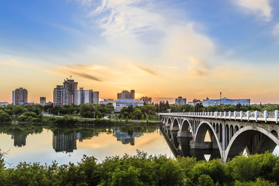
Next we drove to Saskatchewan’s largest city, Saskatoon, where we dropped into the Diefenbaker Canada
Centre on the campus of the University of Saskatchewan. John Diefenbaker was the only Canadian Prime Minister to ever be elected from Saskatchewan. He was a controversial figure to many, but a visit to the centre reminded us of his many accomplishments, including the Canadian Bill of Rights. Outside the centre, overlooking the city, we visited his final resting place.
Our final stop before having to head back to Calgary was at the site of the last major battle fought on Canadian soil. Batoche National Historic Site is located on the banks of the South Saskatchewan River, in a fairly remote location off the main highway, between Saskatoon and Prince Albert. This is where Canadian troops, led by General Middleton, defeated those of Louis Riel and Gabriel Dumont in a three-day battle that ended the North West Rebellion in 1885.
Today, it is a peaceful place with few visitors. At the interpretation centre, we learned the history of the Métis people, and the very valid grievances they had with the fledgling Canadian government. This was once a thriving community of over 500 people, but all that remains today are the church and the rectory buildings. Guides dressed in period costume took us through them, and afterwards, we walked the trails that lead down to the river. At the entrance to the cemetery, there is a moving memorial marking the reconciliation of the Métis people, the aboriginals, and other Canadians.
As I departed, I stood with Louis Riel, and realized that he was a truly misunderstood man who deserved a much better fate than to be hanged as a traitor.
On the way back to Calgary, I reflected on the wonderful days we had spent in Saskatchewan, and how our eyes had been opened to the natural beauty of the province. Also, we had learned some of the very significant historical events that took place here. As we neared the Alberta border, almost as if on cue, a male pronghorn antelope with four does posed in a field. Now we had seen it all.
Related Articles
Northeastern Ontario: A Taste of Extraordinary Ontario Parks
On smooth, grey Highway 11 from the upper reaches of the Ottawa Valley, heading straight north toward Temagami, I started to hum a few lines from that notable song by The Arrogant Worms. We’ve got rocks and trees, and trees and rocks,and rocks and trees, and trees and...
Savouring Cape Breton Island
When that itch for a scenic road trip hits hard, it’s a challenge to find a spot more delightful than Cape Breton Island, perched a short drive from mainland Nova Scotia. The island is renowned for the rugged coastline drive along the jaw-dropping Cabot Trail . . ....
Why not Alabama?
We rolled into the border crossing in Detroit this past January, towing our 5th wheel trailer, stopped and handed over our passports to the Agent. He glanced at the trailer, then us - “Heading to Florida are you” he asked as he scanned the passports. “No, actually...

