
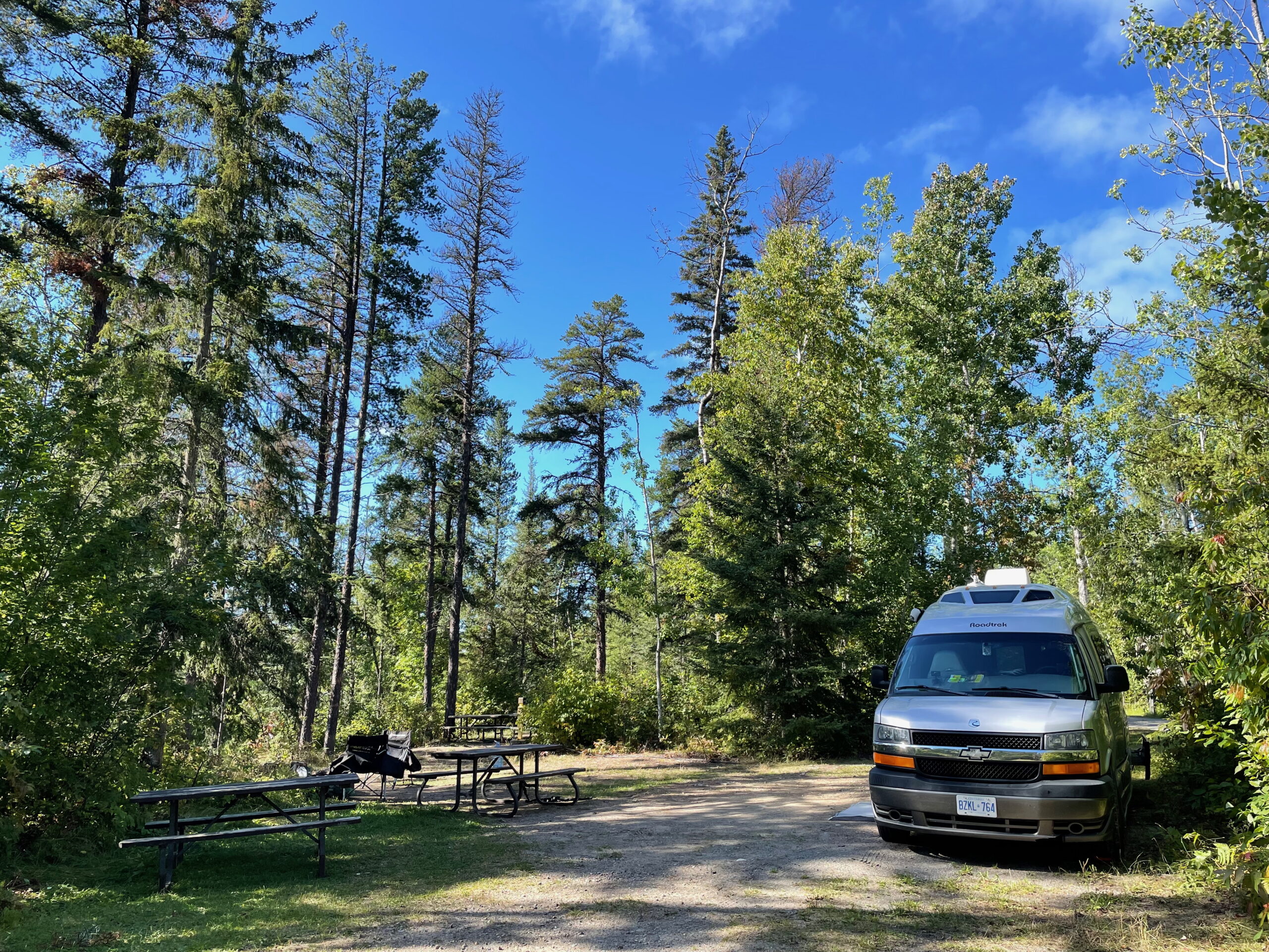
On smooth, grey Highway 11 from the upper reaches of the Ottawa Valley, heading straight north toward Temagami, I started to hum a few lines from that notable song by The Arrogant Worms.
We’ve got rocks and trees, and trees and rocks,
and rocks and trees, and trees and rocks,
and rocks and trees, and trees and rocks,
and rocks and trees, and trees and rocks,
and water.
The catchy lyrics suggested an interminably boring drive, but in fact the ever-present trio—rocks, trees, water—created a fascinating road trip. Our route took us from the city of North Bay to Temagami, and then Matheson (all on Highway 11), with a turn west along Highway 101 through Timmins to Chapleau, finally south on remote Highway 129 until the tarmac ended at Thessalon on the shoreline of Lake Huron. At this point, we turned eastward on Highway 17 and eventually wound our way back to southern Ontario via the beautiful ferry crossing from Manitoulin Island.
This, as it turned out, was a route that needed to be enjoyed slowly. Top of our list was to visit as many key Ontario Parks as possible, using them as bases for exploring what many would call “Ontario’s wilderness.” We stopped a lot, hiked whenever possible, canoed on incredibly quiet waterways, watched for wildlife, and learned about the settlement, mining, and logging history of the province.
But more than anything, it was the change in the landscape—the transition from southern forests of deciduous and hardwoods to the northern boreal forest of largely conifers—that remains with me. The textbook of eastern Canada’s forests and geology lines the roadways of the province’s north. In a humorous aside, along a hiking path we met a couple from western Canada who announced they “had no idea that Ontario even had forests!” Just one more way that travel, even in our own country, opens doors.
Highlights of the parks? Too many to mention, but here are a few of our favourites. And all, as you might expect, have rocks and trees, and trees and rocks … and water!
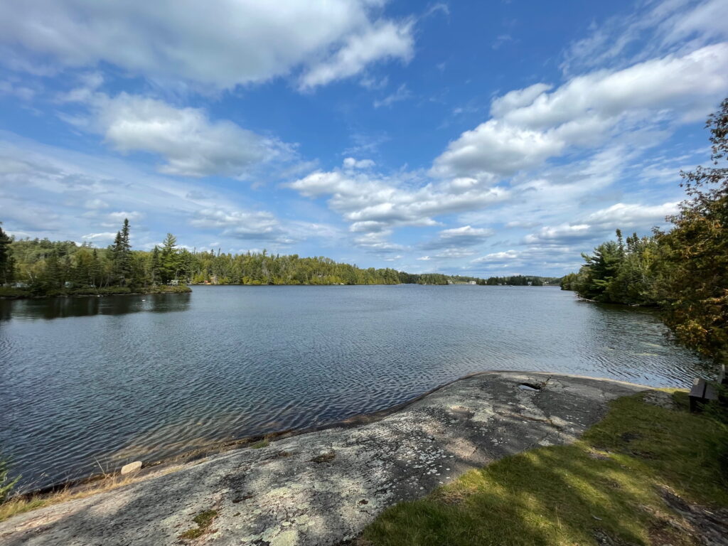
FINLAYSON POINT PROVINCIAL PARK
Finlayson is a popular paddling park with more than 2,400 kilometres of canoe routes on the surrounding lakes. It’s tucked into the sweeping Canadian Shield landscape across the Temagami region, which gets its name from the Anishinaabe word meaning “deep water by the shore.” With more than 1,000 km of shoreline and one of Ontario’s last remaining old-growth forests, Temagami is known for fishing, hiking, and wilderness activities. It also inspired painters of the Group of Seven, whose art made a lasting contribution to environmental conservation in Canada (look for the plaque at a scenic overlook).
Temagami was also home to Grey Owl, the British man who lived among the Ojibwa on Bear Island and was recognized for his writings and conservation efforts (look for another plaque in the park dedicated to his accomplishments). After his death, his reputation was called into question as he’d passed himself off as partly Indigenous. But his views on wilderness conservation focused attention on the impacts of exploiting nature and the need to develop respect for the natural world.
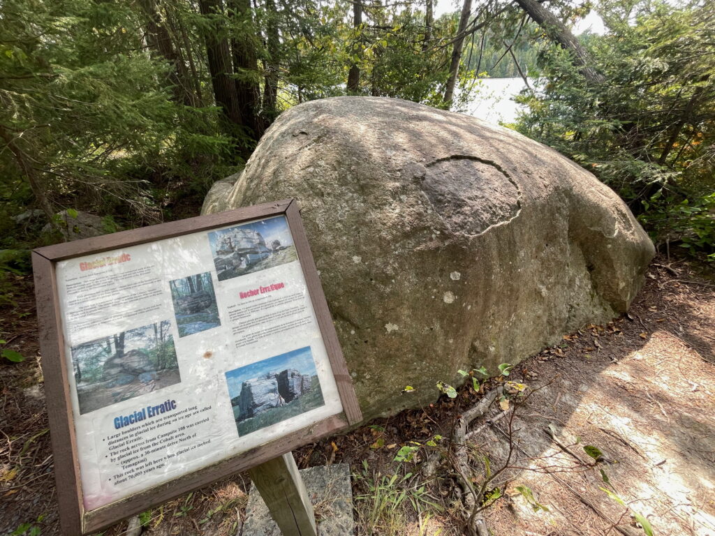
The evidence of the age when glaciers covered the landscape is on display, even in the campgrounds where massive boulders, called “glacial erratics” seem out of place; the large boulders were frozen in sheets of glacial ice and left behind when the ice melted tens of thousands of years ago.
Canoe rentals are available at the park. Left your fishing gear at home? The park is part of the TackleShare program, where visitors can borrow fishing equipment for free (there are 140 loaner sites at Ontario Parks). Finlayson is known for walleye, large and smallmouth bass, northern pike, and trout. www.ontarioparks.ca/park/finlaysonpoint.
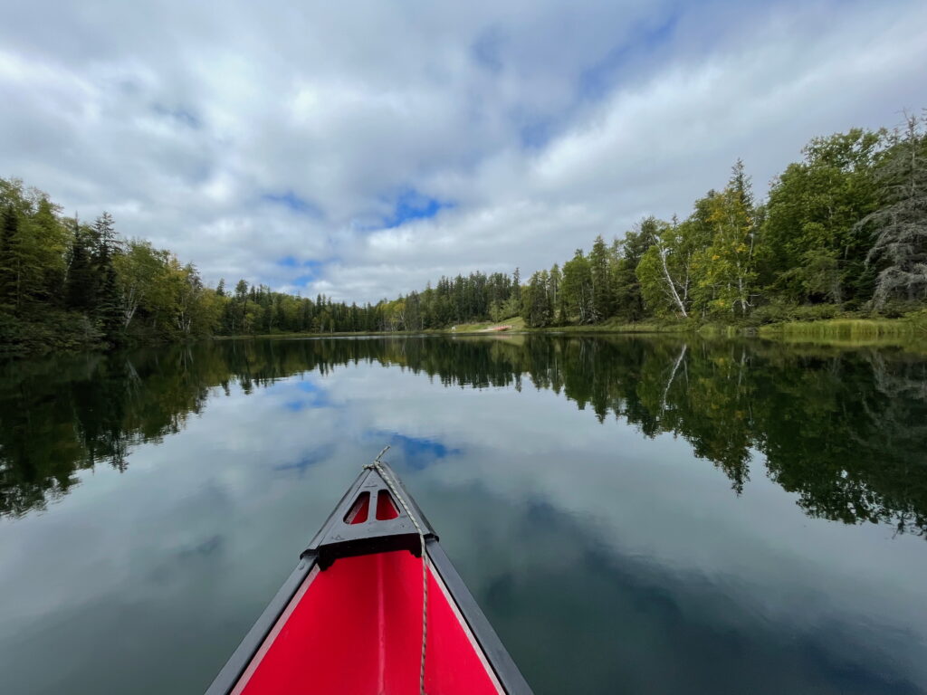
KETTLE LAKES PROVINCIAL PARK
The diversity of Ontario’s northern geological record is in its full splendour at Kettle Lakes, sitting at the southern extremity of the boreal forest region, a part of the province’s north with cold winters and long summer days. Black spruce and jack pine dominate, with red and white pine, white spruce, and trembling aspen. Even visiting in early fall, there was no changing of the leaves as the stands of maple and oak hardwoods were far to the south of us.
The 20 kettle lakes are the park’s big drawing card. During the glacial period around 10,000 years ago, enormous chunks of ice broke off, became embedded in the sandy delta, and slowly melted, creating the deep, roundish lakes. These “kettle lakes” are now spring fed via the Moose River with water coming from as far away as James Bay. Even for a newbie paddler, pushing out onto one of the undeveloped lakes is a spiritual experience. On a day with no wind, there was no sound. Utter and complete silence. We paddled to the middle of Green Lake, stopped, and just floated, enveloped in the complete quiet.
In addition to fishing (trout, smallmouth bass, northern pike, and yellow perch), Kettle Lakes is a mecca for outdoors enthusiasts. There are four main hiking trails, 14 km of dedicated bike trails, and watercraft and bicycle rentals. Along the trails, the massive out-of-place glacial erratics are what was left behind as the huge sheets of glacial ice melted. Note that this park is black bear and moose habitat (the latter being found along some of the cedar swamp sections), so keep an eye open when on the trails. www.ontarioparks.ca/park/kettlelakes.
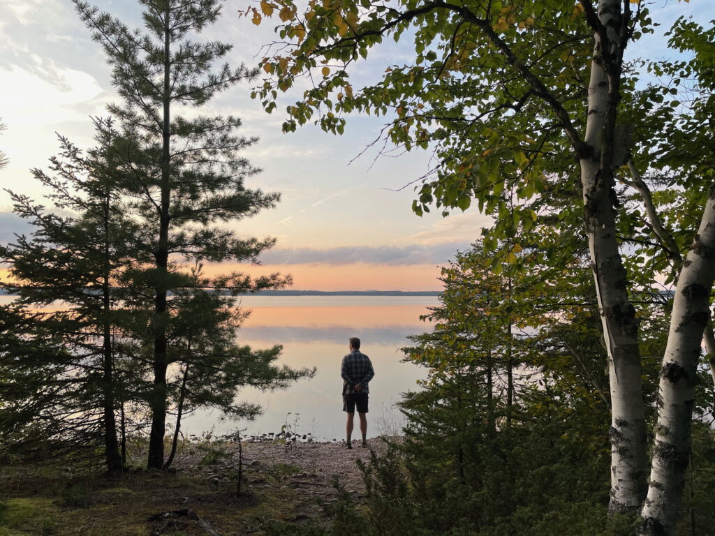
IVANHOE LAKE PROVINCIAL PARK
The loons on Saw Lake (a smaller lake inside the park boundary) broke the silence as we paddled along a verdant shore lined with spiky black spruce, one of the signature trees of the boreal forest. No motors are allowed on the small lake, making for a quiet getaway experience. Canoes, kayaks, and stand-up paddleboards are all available to rent. Motorboats can be rented on larger Ivanhoe Lake. The park is one of the stops along the Ontario Parks Boreal Driving Route, https://blog.ontarioparks.ca/boreal-driving-route/.
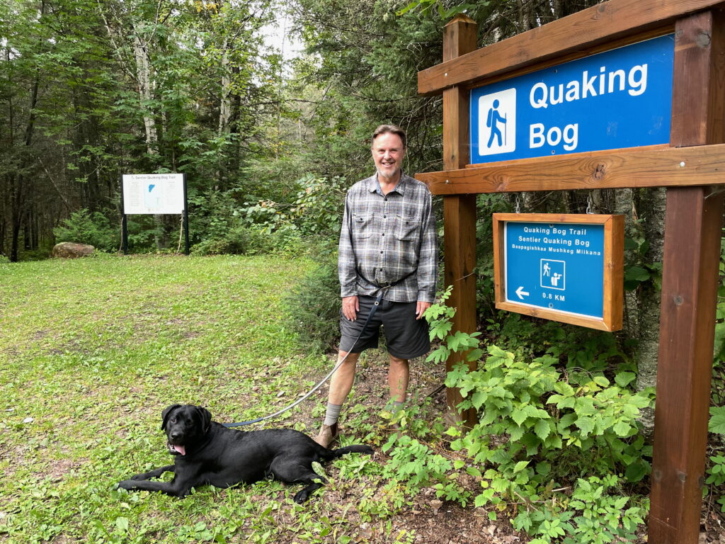
The park’s four main trails snake through the boreal landscape. We chose the lush and mossy Quaking Bog Trail, along the former shoreline of Lake Ivanhoe, a unique landscape created after water levels dropped when the nearby dam was built. The construction left behind a series of small pools blanketed by floating sphagnum moss, the perfect habitat for pitcher plants and sundew. The trail’s moniker comes from the experience of stepping on the rare, boggy water surface as it trembles and quakes underfoot. It is an example of how human intervention has altered the natural landscape of the park.
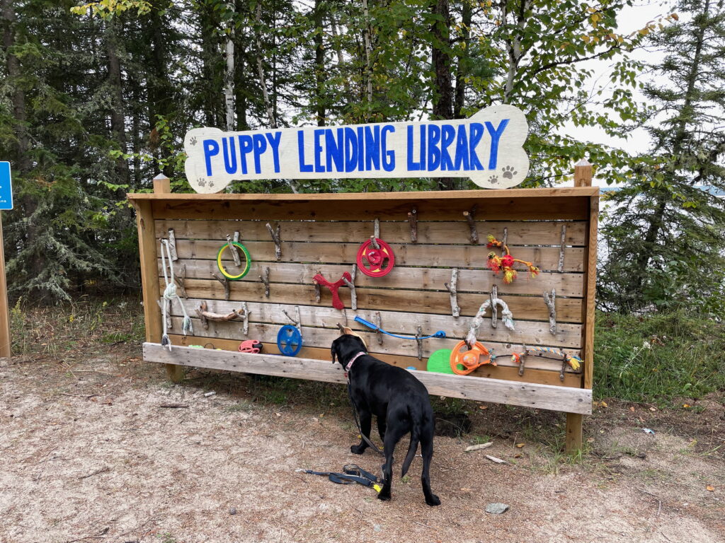
Ivanhoe is known for red-streaked sunsets, a family-friendly stretch of sand beach, and shallow waters. In summertime, the beachside Kids Lending Library is stocked with water toys. Not to be outdone, the “dog-positive” park also boasts a very popular Puppy Lending Library with balls, sticks, throwers, and all sorts of dog toys to be grabbed on the way to the designated off-leash beach.
The varying depths near the centre of Ivanhoe Lake provide a variety of habitat for fish, including northern pike, walleye, whitefish, perch, and trout. Ivanhoe is also part of the TackleShare program with free loans of fishing gear. www.ontarioparks.ca/park/ivanhoelake.
WAKAMI LAKE PROVINCIAL PARK
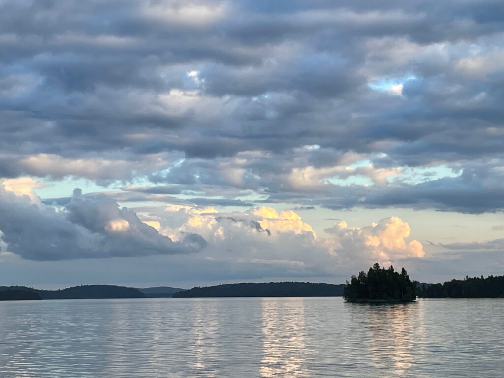
I admit a bias: I was completely captivated by the off-the-grid, remote setting of Wakami Lake Provincial Park, a northern wilderness park a 45-minute drive southwest of the town of Chapleau. There are no hookups or comfort stations at the park (water taps and vault toilets only), and no Wi-Fi service. Give me a week, a waterfront campsite, a stack of books, and a load of firewood to create my perfect camping escape.
Wakami sits in the zone where the vegetation of north meets south. On the park’s Transitional Forest Trail, the black spruce, balsam fir, and jack pine of the northern boreal forest shifts to the red pine, white pine, maple, and yellow birch marking the absolute northern reaches of the southern Great Lakes-St. Lawrence Forest zone. Once you know what to look for in the transition, it is amazing to spot it along the hiking trails and roadsides of the region.
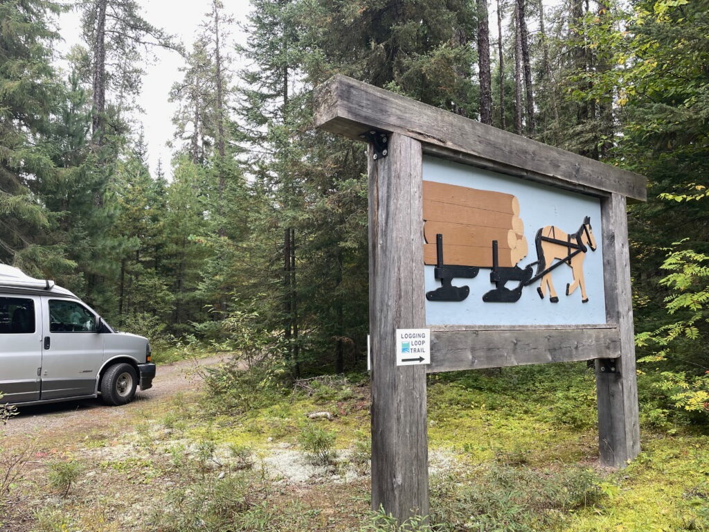
The Historic Logging Exhibit Trail is a nod to the rich heritage of the early 1900s, when logging was the economic engine in this part of the province. The trail winds through a jack pine forest, lined with exhibits of the machinery and tools of the era; a time when huge stands of white pine were harvested to make the railway ties for the “new” transcontinental railway. The displays span the ages of horses, steam, and then fuel-powered logging.
The long, narrow lake is also popular for boating and fishing, with a shoreline dotted with boat launches, docks, and fish cleaning stations. Motorboats, canoes, kayaks, and stand-up paddleboards are all available to rent. www.ontarioparks.ca/park/wakamilake.
GETTING THERE
From the southeast part of the province, we travelled into the Ottawa Valley, camping along the way at other wonderful Ontario Parks including Bon Echo, Bonnechere, and Driftwood. On the way back south, we enjoyed river tubing at Chutes Provincial Park, crossed on the MS Chi-Cheemaun ferry from Manitoulin Island to Tobermory, and then camped at both Earl Rowe and Rock Point provincial parks.
Just do the route in reverse if coming from the central and southwestern part of the province. The beauty of northern Ontario will be waiting for you.
~
MORE INFORMATION
www.ontarioparks.com
www.destinationontario.com
https://northernontario.travel/about
An excellent book of maps for the province is the large-scale Map Art Ontario Back Road Atlas, available at Canadian Tire and bookstores. www.MapArt.com.
Related Articles
Tracking the Dinos and Digging for Fossils in Museums and Parks Across North America
Sites preserving the footprints and remains of the prehistoric giants that once ruled the land and sea of North America can be found in museums and parks all over the continent.
Tucson and beyond – Exploring southern Arizona
Southern Arizona is a magnet for RVers who love the outdoors, warm wintertime temperatures, and activities like hiking, bird-watching, and learning about Native American cultures. GET OUTDOORS! The enormous Sonoran Desert sprawls across much of southern Arizona, and...
The Flavours of New Orleans: Exploring the Big Easy
I have a plate of what could be the best bread pudding in all of Louisiana. It’s studded with raisins, drizzled with decadent whiskey sauce and just happens to be the one recipe the chef at The Court of Two Sisters is never allowed to change. This is...